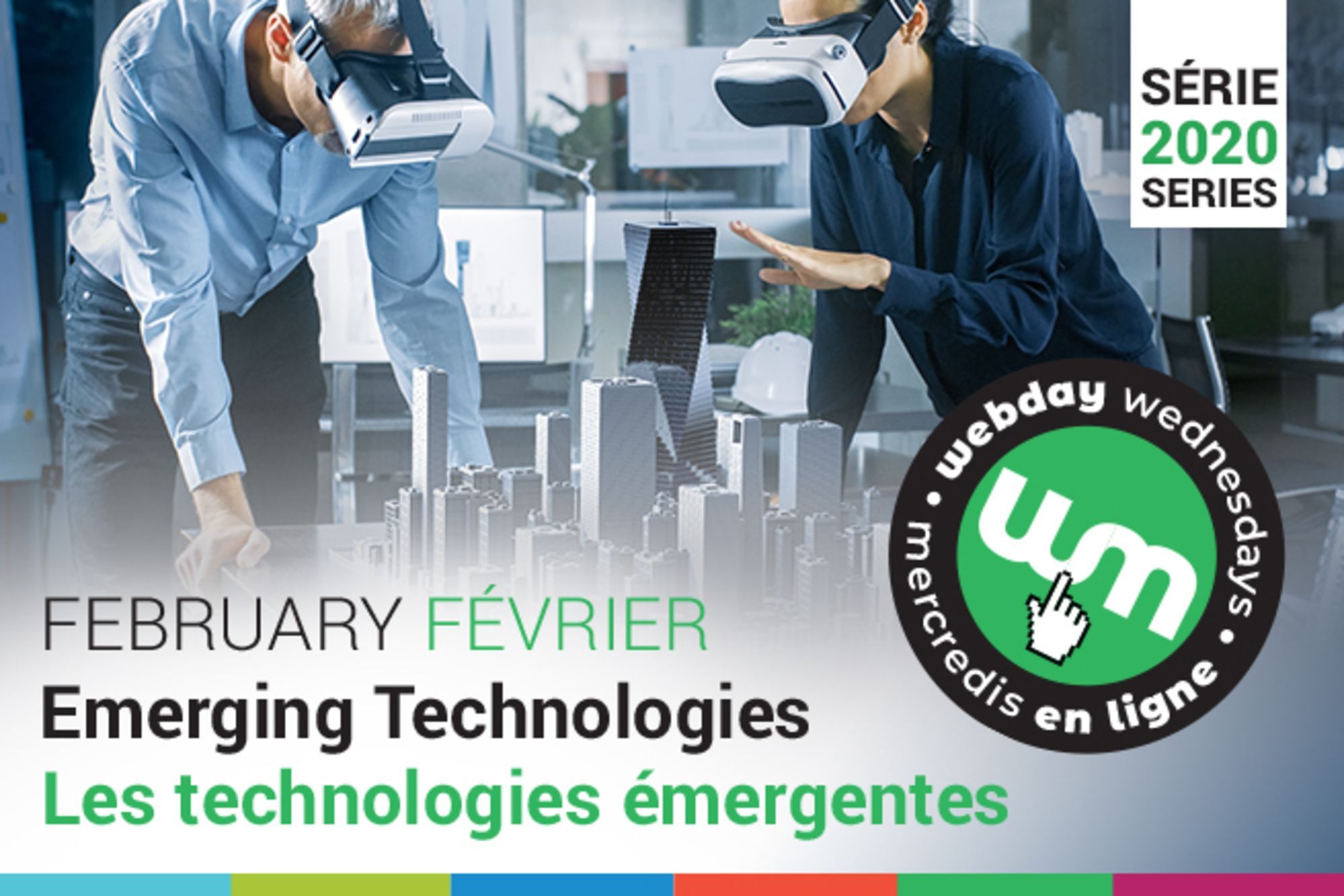
This session will introduce participants to the use of digital technologies for the purpose of documenting the built environment. Topics will include an overview of the three main technologies used in documenting buildings and the built environment: terrestrial laser scanning, close-range scanning, and photogrammetry.
Introduction to 3D Laser Scanning for Architecture
Topics: Advanced Technology
Length: 1 hour | What’s Included: Video, quiz, and certificate of completion.
This webinar is available to stream!

This session will introduce participants to the use of digital technologies for the purpose of documenting the built environment. Topics will include an overview of the three main technologies used in documenting buildings and the built environment: terrestrial laser scanning, close-range scanning, and photogrammetry. Further attention will be given to the strengths and weaknesses, potential deliverables that can be generated and real-world uses of each of the three technologies. Examples of how digital outputs from each of the three technologies can be utilized in software used in typical architectural practices.
Learning Outcomes:
At the completion of this webinar, participants will be able to:
- The three main technologies used to document the built environment and their best use;
- The potential outputs that each of the technologies can generate and which software can make use of them;
- The deliverables that can be generated from the output data;
- The general knowledge to procure the services of a technology provider.
Subject Matter Expert:
James Hayes, B.Sc. Arch., M.Arch
Available Until: December 31, 2022
Pricing A-La-Carte
Member: $50 / Non-Member: $75
Intern Member: $35 / Intern Non-Member: $50
Student: $25 (must be an RAIC student associate member)
This is a recording of a live event.
This webinar is part of a series! See more like this here.


